INFORMATION
DATA
EDUCATION
ACTION
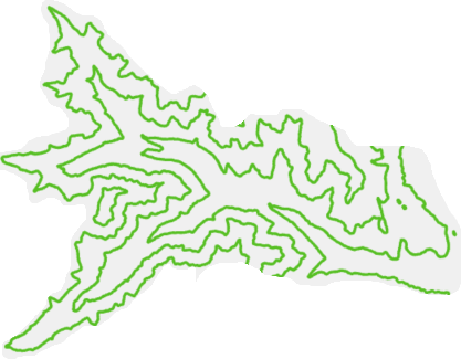
Geo-spatial support for your IDEAs.

Our IDEA
Every project starts with an IDEA. The goal of every project is action. The space in between requires expertise, clear communication, and a deep understanding of project objectives. This is where we come in. With your IDEA, we provide the vital data, information, and education services you need to see your IDEA come to life. From project start to project finish and beyond, your action is our action.
Geospatial Services
- Spatial Data Management & Analysis
- Cartography
- Web Mapping
- Mobile Application Development
- Mobile Data Collection
- Satellite Image Processing / Remote Sensing
- Custom Geospatial Application Development
Training Services
- Real-time Training
- Online or In-person
- 8 unique courses
- Flexible course schedules
- Custom trainings tailored to your needs
- Access to instructors for questions / demos
What we do?
We provide a full suite of spatial services in desktop, web and mobile GIS. Services range from data acquisition and processing and analysis to cartography and web mapping, to decision making support and continuing education.
Whether you are at the beginning of your project, or need some help wrapping up, WarthogIS’s expert analysis can turn your geographic information into the real-world action that you want to see.
We know that data is not information; information is not education, and education is not action. Each is held together by the space between: context, experience, goals.

© Copyright. All rights reserved.